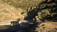
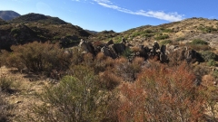
From the Sky – Stunning Drone Views of Kitchen Creek Falls, how did we get these shots? We are hiking along the Pacific Crest Trail (PCT) to take a look at Kitchen Creek Falls and try to get some drone views of the waterfalls. It did not quite work out last fall, so here we are returning in the following spring! Were we successful… the suspense is too much!
Kitchen Creek Falls
Kitchen Creek Falls is a seasonal waterfall located near Pine Valley, within San Diego County, California. It’s situated in the Cleveland National Forest, east of San Diego. The falls are along the famous Pacific Crest Trail and offer a scenic hike with beautiful views. There are two main ways to get to the falls, coming from the south near Boulder Oaks Campground, which Is a longer route, or from the north near Cibbets Flat Campground which is less than a 4-mile roundtrip hike. It is mostly an easy trail until you get to the easily missed side trail. Reaching the hidden waterfall can be a bit challenging, with some steep rocky parts to climb down and then back up on the return. If you decide to explore this hidden gem, be prepared for a decent workout hike that leads you into the backcountry, surrounded by scenic beauty.
First Trip with the Drone
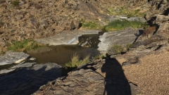
My plan was to get drone views of Kitchen Creek Falls and I attempted this hike in September 2023. It was a sweltering day and also windy. I missed my turnoff spot to the waterfalls and ended up south of the falls. I climbed down the rocks and managed to get next to a small lagoon where I set up to get some drone shots. One of my first tasks before I plan to fly my drone is to check the wind speed. I carry a portable Kestrel wind gauge in my drone case, and I got that out to measure the wind speed. The wind was a strong 15 mph with 22 mph wind gusts. That is right at the level of maximum wind speed for my DJI Mavic 3 Pro drone. I was in a ravine with rock cliffs and boulders all around and I did not want my drone to get damaged with a possible strong wind gust, so I opted not to fly that day.
I took some photos at the lagoon where I was and headed back. On the way back I found the waterfalls that I had missed and stayed to take some photos. I also marked the location on my Gaia GPS app on my phone so I could return here on my next trip. After some time at the falls, I made it back to my truck and called it a day.
Second Trip with the Drone
In February of this year, I made the return to Kitchen Creek Falls. In my backpack I carried my drone, my camera, and my GoPro; along with hiking gear, water and some snacks. This time I had the waterfall marked on my Gaia GPS and again started from the north close to Cibbets Flat Campground. The weather was perfect and so far, there was not very much wind. As I hiked towards the falls, I came across a couple other pairs of people that were hiking back from the falls. I talked to each pair for a few minutes and continued on my way. I eventually made it to the waterfall turnoff after about an hour of hiking and climbed down the rocks to be near the falls.
Stunning Drone Views of Kitchen Creek Falls
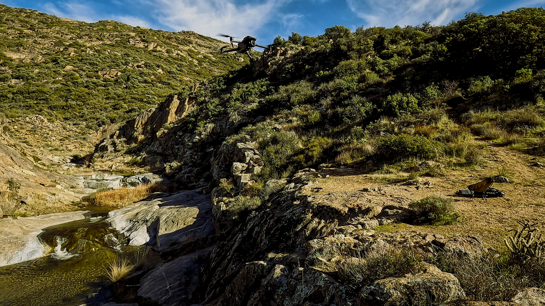
I measure the wind speed and the speed was only 3 – 5 mph and perfect for drone flying! I set up the drone and started flying over the waterfalls and up and down the creek. The Mavic 3 Pro batteries last a decent 40-minutes, and I used one and part of the other one for around an hour of flight time. I took some photos as well and then climbed back up to head back home.
Check out our Drone video on YouTube below!
PCT Hikers
When hiking the PCT to Kitchn Creek Falls in the spring you may come across the Pacific Crest Trail North-bound through hikers starting from the south. These are the hikers that plan to hike the complete hike of 2,650 miles (4,265 km) and will take most people three to five months to complete. The southern portion of the PCT starts on the US border with Mexico and goes north to the US border with Canada.
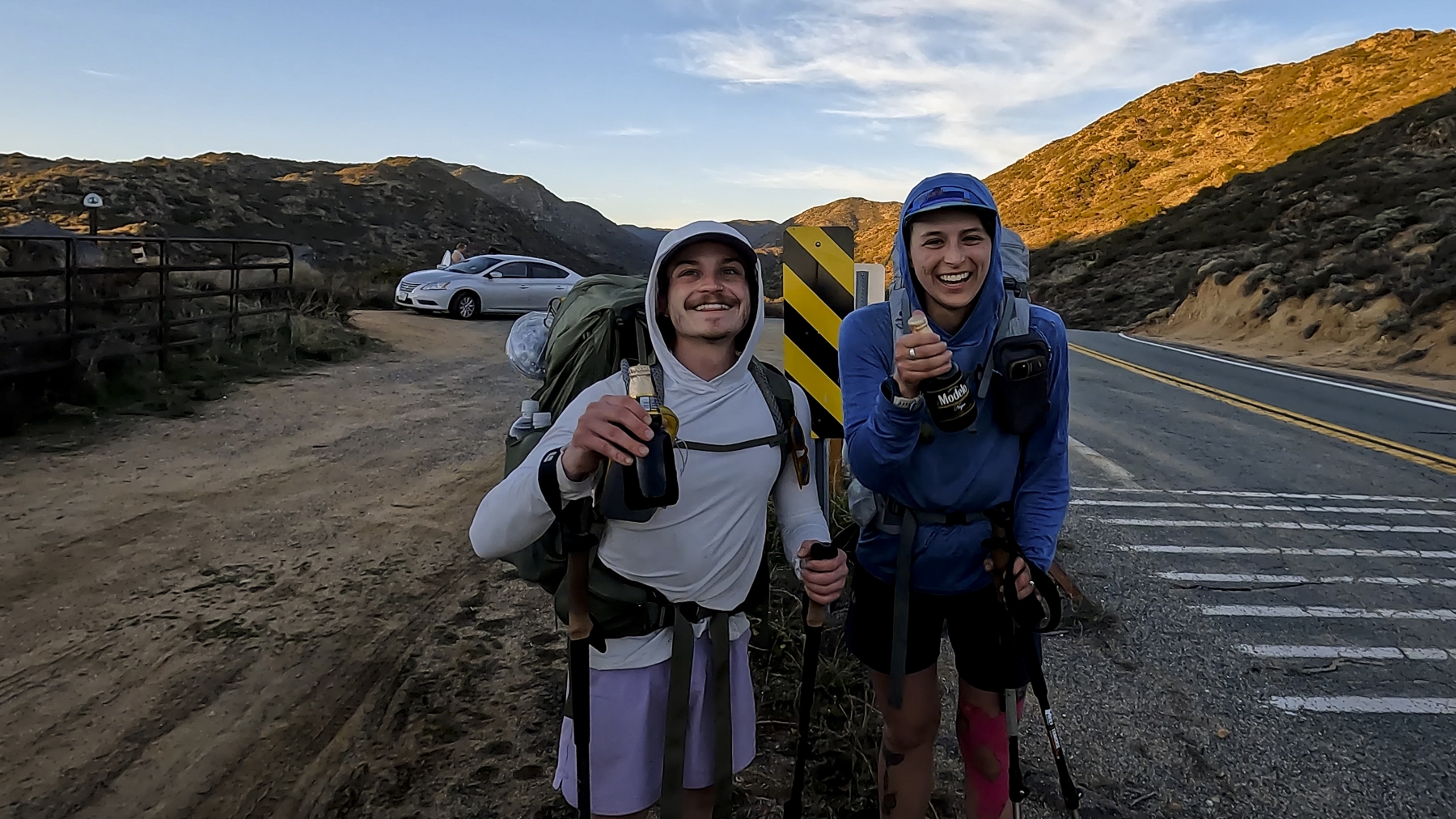
This trip was no different, and I came across a couple that PCT north-bounders from Chicago, Illinois. This area is normally Day 2 or Day 3 for these hikers, so they are at the beginning of their planned journey. I talked to them for a few minutes and continued my hike to my parked truck.
Pacific Crest Trail Angels
Pacific Crest Trail Angels are people who offer various kinds of support and kindness to hikers and horseback riders on the Pacific Crest Trail (PCT), a 2,650-mile wilderness path running from Mexico to Canada.
Trail Angels can provide rides, food, water, lodging, camping, mail services, medical care, and other forms of assistance to trail users. Trail angels can also create magical moments of serendipity, connection, and beauty on the trail. Trail Angels are a part of an informal and voluntary system that is not organized by the Pacific Crest Trail Association (PCTA), the non-profit organization dedicated to the PCT.
Becoming a Trail Angel is a way of building community and fostering goodwill among people who love the PCT. There are hundreds of Trail Angels along the PCT, some of whom have been doing it for decades.
Pacific Crest Trail Beer Angel
So, I put my own spin on the Pacific Crest Trail Angels, and I am the PCT Beer Angel! I supply beers to the PCT hikers that wish to have a nice cold beer along their route. I have done this a couple times, and this trip was no different. I was enjoying a beer at the trailhead with a couple of other people that were here.
When the PCT hikers hiked by, I offered them a ice-cold beer. They said they would love to have one but could not stay with us to drink it as they had to get to camp and get set up for the night. I said no problem and gave them two ice-cold beers from my cooler to take with them to their campsite for the night. We wished them a great journey, got a short video of them, and they went on their way. Another success story for the official PCT Beer Angel!
References
USDA Cleveland National Forest: https://www.fs.usda.gov/cleveland/
See our Adventures on YouTube: @HBMaverick
Check out our Adventures on our blogs page: Blogs – HB Maverick Filmmaking
“We will see YOU on the next adventure!”


